| Rohrach | |
|---|---|
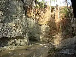 scarp slopes of the gorge at Altusried-Staubers | |
| Location | |
| Country | Germany |
| State | Bavaria |
| Physical characteristics | |
| Mouth | |
• location | Iller |
• coordinates | 47°50′25″N 10°11′31″E / 47.8403°N 10.1919°E |
| Length | 17.2 km (10.7 mi) [1] |
| Basin features | |
| Progression | Iller→ Danube→ Black Sea |
Rohrach is a river of Bavaria, Germany. It is a left tributary of the Iller east of Legau.
See also
References

Wikimedia Commons has media related to Rohrach (Iller).
- ↑ Complete table of the Bavarian Waterbody Register by the Bavarian State Office for the Environment (xls, 10.3 MB)
This article is issued from Wikipedia. The text is licensed under Creative Commons - Attribution - Sharealike. Additional terms may apply for the media files.