Pleasant Hill, Arkansas | |
|---|---|
Neighborhood | |
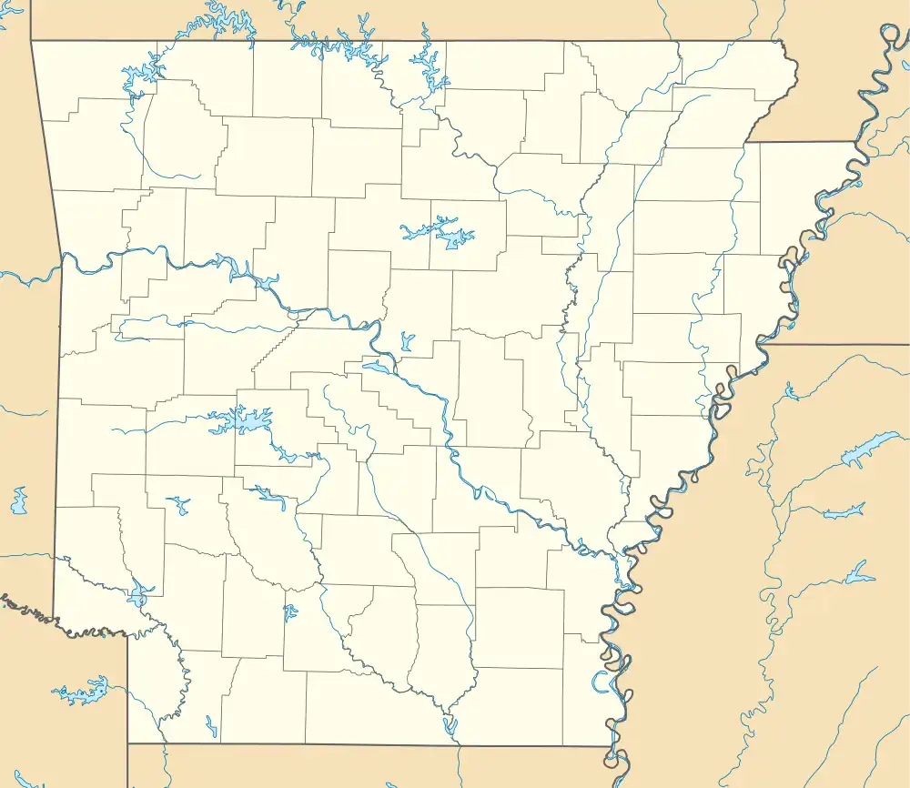  Pleasant Hill, Arkansas | |
| Coordinates: 35°31′18″N 94°02′57″W / 35.52167°N 94.04917°W | |
| Country | United States |
| State | Arkansas |
| County | Crawford |
| Elevation | 459 ft (140 m) |
| Time zone | UTC-6 (Central (CST)) |
| • Summer (DST) | UTC-5 (CDT) |
| Area code | 479 |
| GNIS feature ID | 73125[1] |
Pleasant Hill is a neighborhood of Mulberry, Arkansas, United States, which was once a separate community.[1][2] Pleasant Hill is the nearest community to the Mulberry River Bridge, which is listed on the National Register of Historic Places.[3]
References
- 1 2 "Pleasant Hill". Geographic Names Information System. United States Geological Survey, United States Department of the Interior.
- ↑ Crawford County, Arkansas General Highway Map (PDF) (Map). Arkansas State Highway and Transportation Department. 2011. Archived from the original (PDF) on February 26, 2012. Retrieved June 13, 2012.
- ↑ "National Register Information System". National Register of Historic Places. National Park Service. July 9, 2010.
Municipalities and communities of Crawford County, Arkansas, United States | ||
|---|---|---|
| Cities | 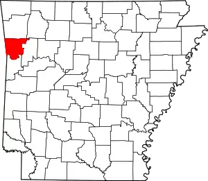 Map of Arkansas highlighting Crawford County | |
| Towns | ||
| CDPs | ||
| Other unincorporated communities | ||
| Ghost towns | ||
This article is issued from Wikipedia. The text is licensed under Creative Commons - Attribution - Sharealike. Additional terms may apply for the media files.