| Kuntur Chukuña | |
|---|---|
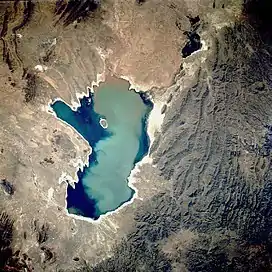 Poopó Lake from above. Kuntur Chukuña lies in the mountainous complex south-east of it (lower center,
left). | |
| Highest point | |
| Elevation | 4,035 m (13,238 ft)[1] |
| Coordinates | 19°15′S 66°43′W / 19.250°S 66.717°W[1] |
| Geography | |
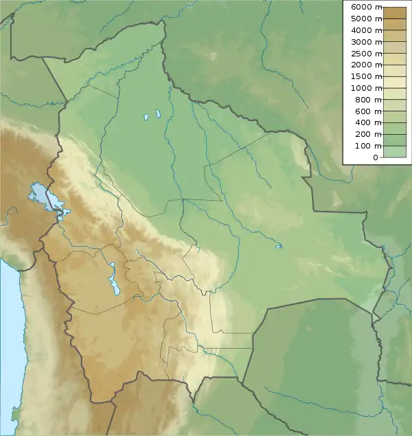  Kuntur Chukuña | |
| Parent range | Andes |
Kuntur Chukuña (Aymara kunturi condor, Aymara chukuña to squat, to cower,[2][3] 'where the condor squats', also spelled Condor Chucuna, Condor Chucuña) is a mountain in the Andes of Bolivia, about 4,035 m (13,238 ft) high. It is situated in the Oruro Department, Sebastián Pagador Province (which is identical to the Santiago de Huari Municipality), Lukumpaya Canton.[4][5] It lies southeast of Poopó Lake, south of the village of Urmiri and northwest of Jatun Wila Qullu.
See also
References
- 1 2 own investigation (GE)
- ↑ "Diccionario Bilingüe, Castellano - Aymara, 2002". Félix Layme Pairumani. Archived from the original on September 2, 2013. Retrieved March 27, 2016.
- ↑ Juan Carvajal Carvajal, Arturo Hernández Sallés, Nelly Ramos Pizarro, Diccionario Ilustrado Aymara-Español-Inglés (Aymara-Spanish-English dictionary)
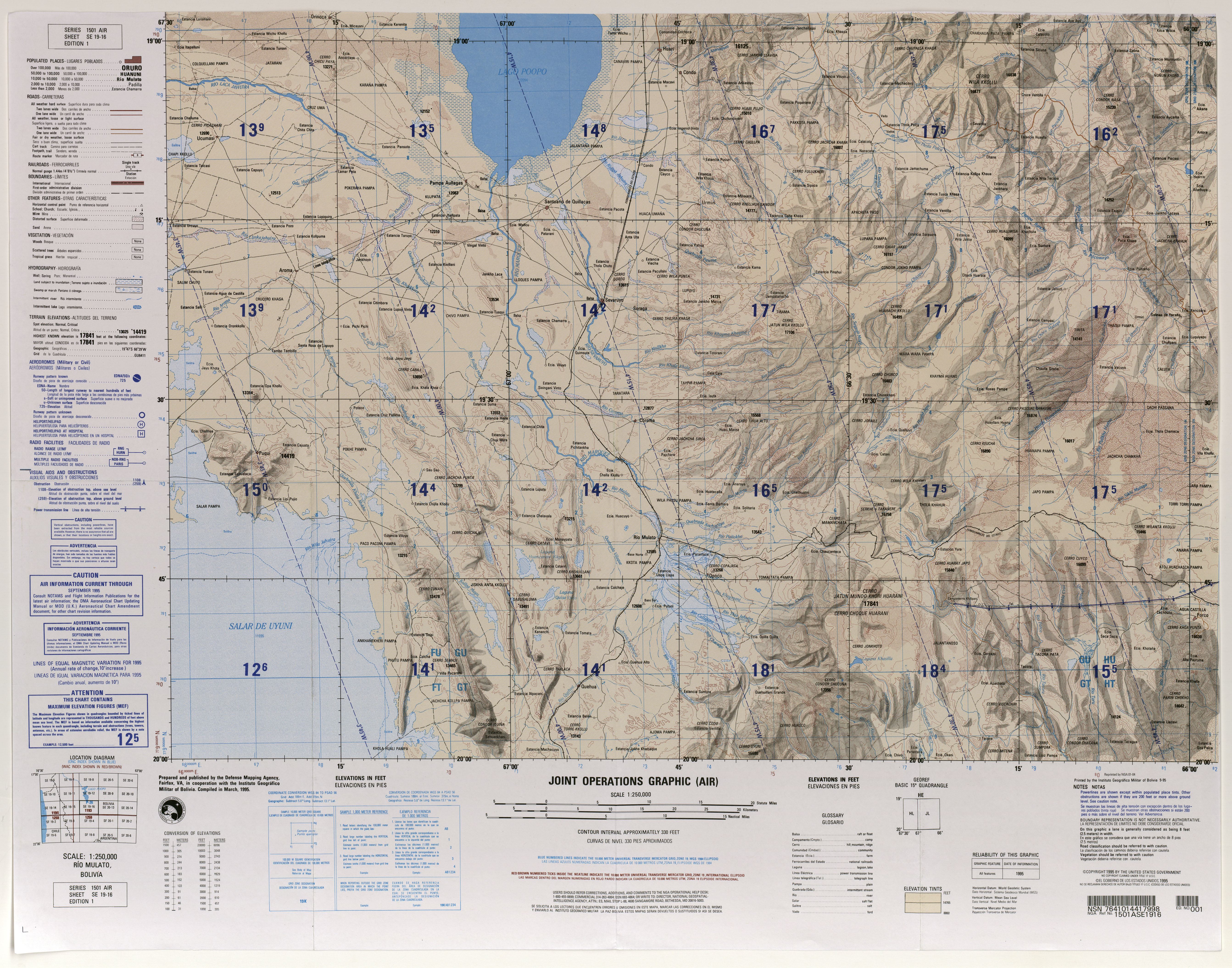
- ↑ lib.utexas.edu Map showing Kuntur Chukuña ("Condor Chucuña") south of Urmiri
- ↑ "Santiago de Huari". INE, Bolivia. Archived from the original on October 16, 2014. Retrieved March 27, 2016.
This article is issued from Wikipedia. The text is licensed under Creative Commons - Attribution - Sharealike. Additional terms may apply for the media files.