Boissevain, Virginia | |
|---|---|
 Boissevain Road | |
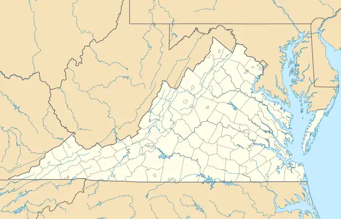  Boissevain, Virginia 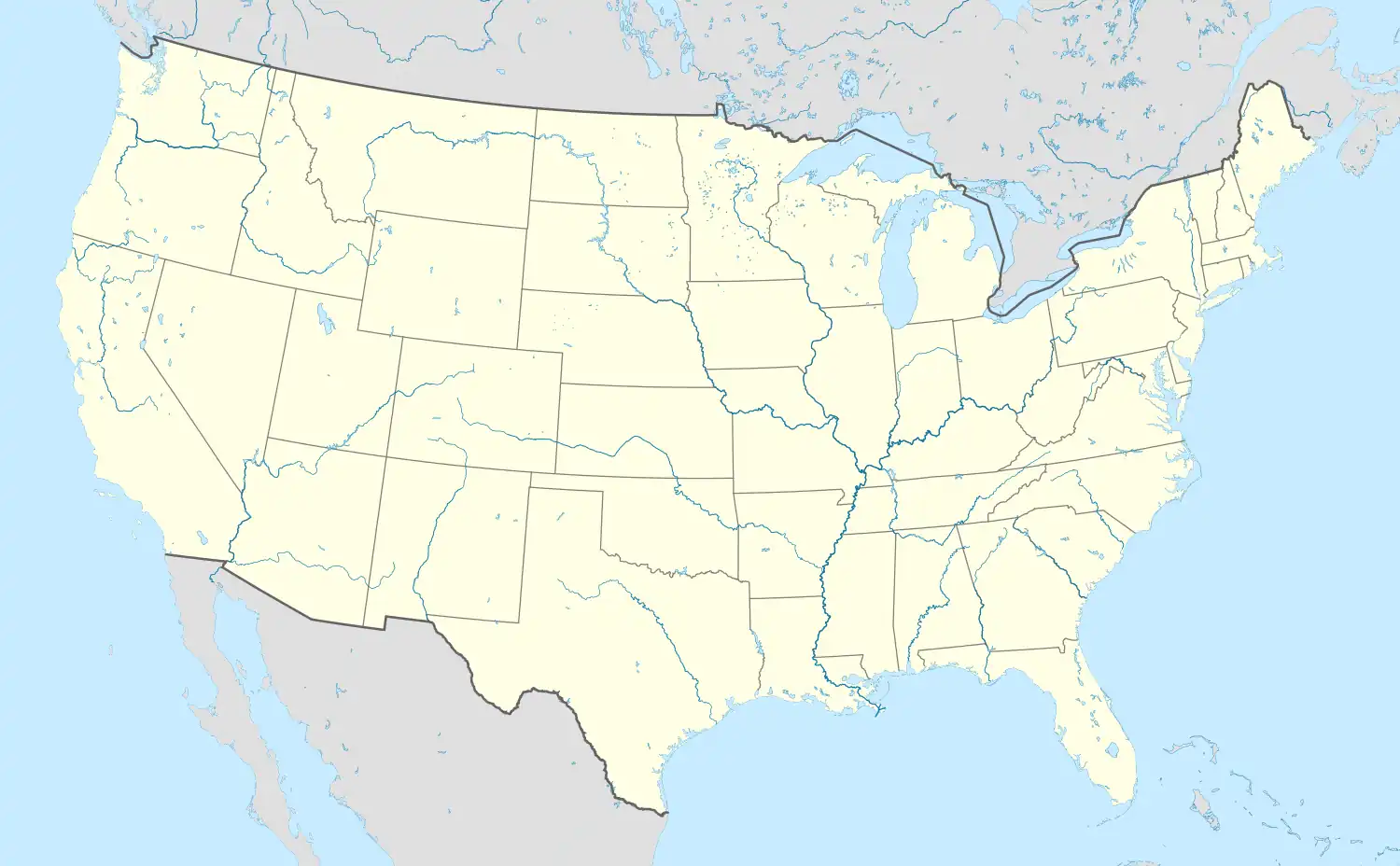 Boissevain, Virginia | |
| Coordinates: 37°16′54″N 81°22′49″W / 37.28167°N 81.38028°W | |
| Country | United States |
| State | Virginia |
| County | Tazewell |
| Elevation | 2,454 ft (748 m) |
| Population (2020) | |
| • Total | 457 |
| Time zone | UTC-5 (Eastern (EST)) |
| • Summer (DST) | UTC-4 (EDT) |
| Area code | 276 |
| GNIS feature ID | 1492603[1] |
Boissevain is an unincorporated community, census-designated place (CDP), and former coal town in Tazewell County, Virginia, United States. It was defined as a census-designated place (then termed an unincorporated place) at the 1950 United States Census under the spelling Boissevaine, when it had a population of 1,197.[2] It did not reappear again as a CDP until the 2020 census with a population of 457.[3]
Boissevain is served by the Abbs Valley -Boissevain - Pocahontas Rescue Squad Inc - Rescue 945 for Emergency Medical Services.
References
- ↑ U.S. Geological Survey Geographic Names Information System: Boissevain, Virginia
- ↑ "1950 Census of Population." U.S. Census Bureau. Retrieved on August 18, 2010.
- ↑ "Boissevain CDP, Virginia". United States Census Bureau. Retrieved April 7, 2022.
Municipalities and communities of Tazewell County, Virginia, United States | ||
|---|---|---|
| Towns | 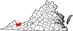 Map of Virginia highlighting Tazewell County | |
| CDPs | ||
| Other communities | ||
| Footnotes | ‡This populated place also has portions in an adjacent county or counties | |
This article is issued from Wikipedia. The text is licensed under Creative Commons - Attribution - Sharealike. Additional terms may apply for the media files.