Androhibe Antsahadinta | |
|---|---|
 the Lutheran church of Antsahadinta | |
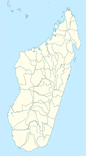  Androhibe Antsahadinta Location in Madagascar | |
| Coordinates: 19°01′00″S 47°27′30″E / 19.01667°S 47.45833°E | |
| Country |  Madagascar Madagascar |
| Region | Analamanga |
| District | Antananarivo-Atsimondrano |
| Government | |
| • Mayor | RAKOTOARIMANANA Josepha |
| Area | |
| • Total | 32.6 km2 (12.6 sq mi) |
| Population (2019)Census | |
| • Total | 10,434 |
| Time zone | UTC3 (EAT) |
| postal code | 102 |
Androhibe Antsahadinta is a rural municipality in Analamanga Region, in the Central Highlands of Madagascar. It belongs to the district of Antananarivo-Atsimondrano and its populations numbers to 10,434 in 2019[1] of which 90% are farmers.[2]
It is located at 20 km South-West from the capital Antananarivo. To the municipality belong 8 fokontany (villages) that are: Antalaho, Androhibe, Ambohibary, Antsahadinta, Mandalova, Fidasiana, Ankadivory and Ambatomalaza.
Rova of Antsahadinta
One of the Twelve sacred hills of Imerina, the Rova of Antsahadinta is located in the municipality.
References
- ↑ RECENSEMENT GÉNÉRAL DE LA POPULATION ET DE L’HABITATION DE 2019 DE MADAGASCAR
- ↑ PLAN COMMUNAL DE DEVELOPPEMENT (PCD) DE LA COMMUNE RURALE D ANDROHIBE ANTSAHADINTA

Wikimedia Commons has media related to Androhibe Antsahadinta.
Capital: Antananarivo | ||
| Ambohidratrimo (24) - 105 |  | |
| Andramasina (14) - 106 | ||
| Anjozorobe (18) - 107 | ||
| Ankazobe (15) - 108 | ||
| Antananarivo-Atsimondrano (26) - 102 |
| |
| Antananarivo-Avaradrano (16) - 103 | ||
| Antananarivo-Renivohitra (1) - 101 | ||
| Manjakandriana (23) - 116 | ||
8 districts; 137 communes | ||
This article is issued from Wikipedia. The text is licensed under Creative Commons - Attribution - Sharealike. Additional terms may apply for the media files.