Rietveld | |
|---|---|
Hamlet | |
 Farm in Rietveld | |
  Rietveld Location in the Netherlands 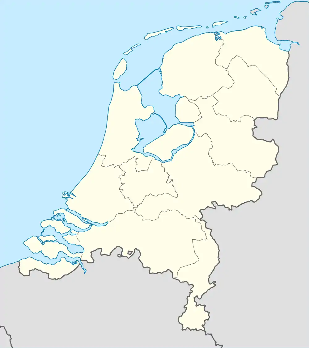 Rietveld Rietveld (Netherlands) | |
| Coordinates: 52°05′23″N 4°51′04″E / 52.08972°N 4.85111°E | |
| Country | Netherlands |
| Province | Utrecht |
| Municipality | Woerden |
| Area | |
| • Total | 5.11 km2 (1.97 sq mi) |
| Population (2021)[1] | |
| • Total | 275 |
| • Density | 54/km2 (140/sq mi) |
| Time zone | UTC+1 (CET) |
| • Summer (DST) | UTC+2 (CEST) |
| Postal code | 3443[1] |
| Dialing code | 0348 |
Rietveld is a hamlet in the Dutch province of Utrecht. It is a part of the municipality of Woerden, and lies about 3 km west of Woerden.
Rietveld was a separate municipality between 1817 and 1964, when it became part of Woerden. During that time, it was part of the province South Holland.[2]
The hamlet was first mentioned in 1156 as Retfelt, and means "field with reed".[3] There are no place name signs. In 1840, Rietveld was home to 235 people.[4]
Gallery
 Villa Kop en Hagen
 Farm from 1679 in Rietveld
 Landscape
References
- 1 2 3 "Kerncijfers wijken en buurten 2021". Central Bureau of Statistics. Retrieved 26 March 2022.
two entries
- ↑ Ad van der Meer and Onno Boonstra, "Repertorium van Nederlandse gemeenten", KNAW, 2006. "KNAW > Publicaties > Detailpagina". Archived from the original on February 20, 2007. Retrieved December 3, 2009.
- ↑ "Rietveld - (geografische naam)". Etymologiebank (in Dutch). Retrieved 26 March 2022.
- ↑ "Rietveld (Woerden)". Plaatsengids (in Dutch). Retrieved 26 March 2022.

Wikimedia Commons has media related to Rietveld, Woerden.
This article is issued from Wikipedia. The text is licensed under Creative Commons - Attribution - Sharealike. Additional terms may apply for the media files.